Sandstone Hollow
Introduction
The photograph on this page of Sandstone Hollow by BebbmeisterUK as part of the Geograph project.
The Geograph project started in 2005 with the aim of publishing, organising and preserving representative images for every square kilometre of Great Britain, Ireland and the Isle of Man.

There are currently over 7.5m images from over 14,400 individuals and you can help contribute to the project by visiting https://www.geograph.org.uk
Sandstone Hollow
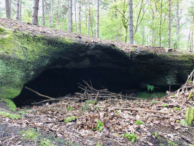
Image: © BebbmeisterUK Taken: 2 May 2020
'Ivans' cave next to an ancient gnarly oak in Dumps Covert, Upper Longdon (its actually a natural hollow in the sandstone ridge).
Images are licensed for reuse under creativecommons.org/licenses/by-sa/2.0
Image Location
Latitude
52.729376
Longitude
-1.921919