Start of new housing development at Armagh
Introduction
The photograph on this page of Start of new housing development at Armagh by Sean Davis as part of the Geograph project.
The Geograph project started in 2005 with the aim of publishing, organising and preserving representative images for every square kilometre of Great Britain, Ireland and the Isle of Man.

There are currently over 7.5m images from over 14,400 individuals and you can help contribute to the project by visiting https://www.geograph.org.uk
Start of new housing development at Armagh
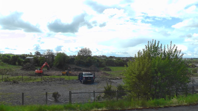
Image: © Sean Davis Taken: 1 May 2020
This is just south of Armagh City on the A29 towards Keady. This is the site of the now closed and demolished Armagh Integrated College.
Images are licensed for reuse under creativecommons.org/licenses/by-sa/2.0
Image Location
Latitude
54.333535
Longitude
-6.65815