Farmland by the Afon Ganol
Introduction
The photograph on this page of Farmland by the Afon Ganol by Jonathan Wilkins as part of the Geograph project.
The Geograph project started in 2005 with the aim of publishing, organising and preserving representative images for every square kilometre of Great Britain, Ireland and the Isle of Man.

There are currently over 7.5m images from over 14,400 individuals and you can help contribute to the project by visiting https://www.geograph.org.uk
Farmland by the Afon Ganol
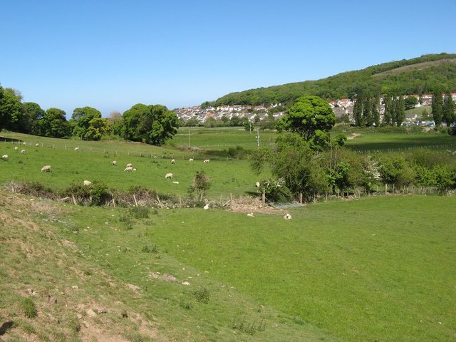
Image: © Jonathan Wilkins Taken: 2 May 2020
Pasture land leading down to the Afon Ganol. This remarkable gap in the hills is the result of glacial melt-water spilling out to the sea from the blocked Conwy drainage during the last ice age. Nowadays the drainage is reversed and runs into the Conwy estuary near to Glan Conwy. Dinerth Road and adjacent estates are seen in the background.
Images are licensed for reuse under creativecommons.org/licenses/by-sa/2.0
Image Location
Latitude
53.300542
Longitude
-3.765053