Ruined hut near Queen's Letch
Introduction
The photograph on this page of Ruined hut near Queen's Letch by Oliver Dixon as part of the Geograph project.
The Geograph project started in 2005 with the aim of publishing, organising and preserving representative images for every square kilometre of Great Britain, Ireland and the Isle of Man.

There are currently over 7.5m images from over 14,400 individuals and you can help contribute to the project by visiting https://www.geograph.org.uk
Ruined hut near Queen's Letch
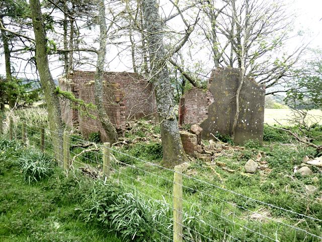
Image: © Oliver Dixon Taken: 2 May 2020
The fact that it is brick-built suggests a world war 2 structure, rather than an old farm building.
Images are licensed for reuse under creativecommons.org/licenses/by-sa/2.0
Image Location
Latitude
54.952154
Longitude
-2.102239