West Howe: Draper Road
Introduction
The photograph on this page of West Howe: Draper Road by Chris Downer as part of the Geograph project.
The Geograph project started in 2005 with the aim of publishing, organising and preserving representative images for every square kilometre of Great Britain, Ireland and the Isle of Man.

There are currently over 7.5m images from over 14,400 individuals and you can help contribute to the project by visiting https://www.geograph.org.uk
West Howe: Draper Road
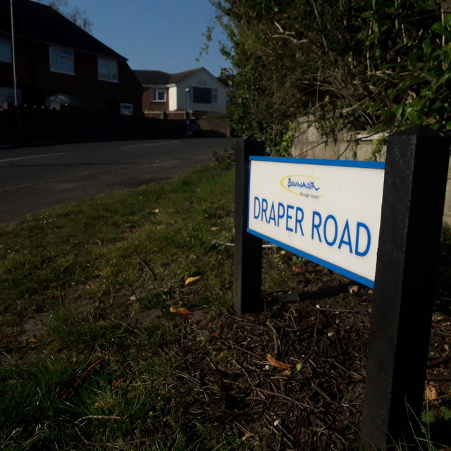
Image: © Chris Downer Taken: 11 Apr 2020
Looking along Draper Road from its northern end, on Moore Avenue. It is in the heart of the large West Howe 1950s council estate - one half of a typical council semi is in the background along with a more modern bungalow. The sign is a modern one, from 2010-15 when this more modern, abstract emblem rather than the traditional town coat of arms as the working logo of the council. This is photo no.114 of a series of 453 in my coronavirus lockdown walking project: See https://www.geograph.org.uk/article/My-2020-Coronavirus-Lockdown-walking-project for the complete set of photos.
Images are licensed for reuse under creativecommons.org/licenses/by-sa/2.0
Image Location
Latitude
50.761219
Longitude
-1.912185