Public Footpath near New York
Introduction
The photograph on this page of Public Footpath near New York by Geoff Holland as part of the Geograph project.
The Geograph project started in 2005 with the aim of publishing, organising and preserving representative images for every square kilometre of Great Britain, Ireland and the Isle of Man.

There are currently over 7.5m images from over 14,400 individuals and you can help contribute to the project by visiting https://www.geograph.org.uk
Public Footpath near New York
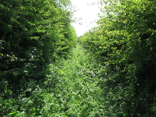
Image: © Geoff Holland Taken: 1 May 2020
This is the section of public footpath referred to at https://www.geograph.org.uk/photo/6459463 which now appears to be little-utilised. It seems that walkers prefer to take the alternative route through the gap in the fence leading to the Housing Estate at New York. Both routes culminate at the same point. For a selection of detailed free to download walking routes in the area visit www.northtynesidewalks.co.uk
Images are licensed for reuse under creativecommons.org/licenses/by-sa/2.0
Image Location
Latitude
55.02598
Longitude
-1.488776