Bridleway approaching Friars Well Farm
Introduction
The photograph on this page of Bridleway approaching Friars Well Farm by Tim Heaton as part of the Geograph project.
The Geograph project started in 2005 with the aim of publishing, organising and preserving representative images for every square kilometre of Great Britain, Ireland and the Isle of Man.

There are currently over 7.5m images from over 14,400 individuals and you can help contribute to the project by visiting https://www.geograph.org.uk
Bridleway approaching Friars Well Farm
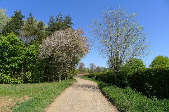
Image: © Tim Heaton Taken: 24 Apr 2020
Bridleway from Grimston approaching Wartnaby
Images are licensed for reuse under creativecommons.org/licenses/by-sa/2.0
Image Location
Latitude
52.800454
Longitude
-0.950423