Watersplash Farm Entrance
Introduction
The photograph on this page of Watersplash Farm Entrance by James Emmans as part of the Geograph project.
The Geograph project started in 2005 with the aim of publishing, organising and preserving representative images for every square kilometre of Great Britain, Ireland and the Isle of Man.

There are currently over 7.5m images from over 14,400 individuals and you can help contribute to the project by visiting https://www.geograph.org.uk
Watersplash Farm Entrance
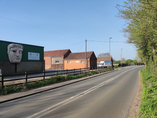
Image: © James Emmans Taken: 10 Apr 2020
The farm gets its name because the land is low lying and liable to extensive flooding. Some of the building are now used as a business park.
Images are licensed for reuse under creativecommons.org/licenses/by-sa/2.0
Image Location
Latitude
51.395604
Longitude
-0.426314