Stocksmoor Farm, Midgley, Sitlington
Introduction
The photograph on this page of Stocksmoor Farm, Midgley, Sitlington by Humphrey Bolton as part of the Geograph project.
The Geograph project started in 2005 with the aim of publishing, organising and preserving representative images for every square kilometre of Great Britain, Ireland and the Isle of Man.

There are currently over 7.5m images from over 14,400 individuals and you can help contribute to the project by visiting https://www.geograph.org.uk
Stocksmoor Farm, Midgley, Sitlington
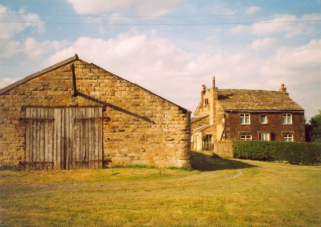
Image: © Humphrey Bolton Taken: Unknown
Midgley has a sawmill and used to have a coal mine, but there is only this farm, a row of houses, some of them recent, along the B6117, a former chapel and a pub at the junction with the A637.
Images are licensed for reuse under creativecommons.org/licenses/by-sa/2.0
Image Location


Leaflet Map data © OpenStreetMap
Latitude
53.633512
Longitude
-1.587112