Balsaggart Burn
Introduction
The photograph on this page of Balsaggart Burn by Mary and Angus Hogg as part of the Geograph project.
The Geograph project started in 2005 with the aim of publishing, organising and preserving representative images for every square kilometre of Great Britain, Ireland and the Isle of Man.

There are currently over 7.5m images from over 14,400 individuals and you can help contribute to the project by visiting https://www.geograph.org.uk
Balsaggart Burn
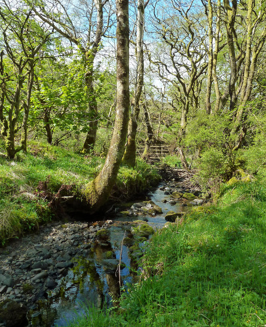
Image: © Mary and Angus Hogg Taken: 30 Apr 2020
Looking down the burn towards the crossing point at the end of the access track from Auchalton Meadow. The water level was extremely low for the time of year.
Images are licensed for reuse under creativecommons.org/licenses/by-sa/2.0
Image Location
Latitude
55.296932
Longitude
-4.623403