Brook entering The Mule
Introduction
The photograph on this page of Brook entering The Mule by Penny Mayes as part of the Geograph project.
The Geograph project started in 2005 with the aim of publishing, organising and preserving representative images for every square kilometre of Great Britain, Ireland and the Isle of Man.

There are currently over 7.5m images from over 14,400 individuals and you can help contribute to the project by visiting https://www.geograph.org.uk
Brook entering The Mule
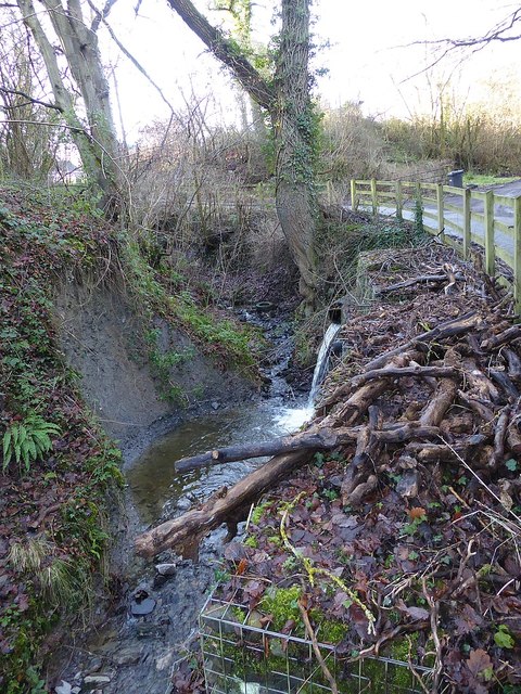
Image: © Penny Mayes Taken: 25 Dec 2019
The brook shown in http://www.geograph.org.uk/photo/6458553 flows under the B4368 and into The Mule here, opposite the lane to Llanmerewig.
Images are licensed for reuse under creativecommons.org/licenses/by-sa/2.0
Image Location


Leaflet Map data © OpenStreetMap
Latitude
52.527174
Longitude
-3.233561