Start of the footpath to Upper Goldstone
Introduction
The photograph on this page of Start of the footpath to Upper Goldstone by Nick Smith as part of the Geograph project.
The Geograph project started in 2005 with the aim of publishing, organising and preserving representative images for every square kilometre of Great Britain, Ireland and the Isle of Man.

There are currently over 7.5m images from over 14,400 individuals and you can help contribute to the project by visiting https://www.geograph.org.uk
Start of the footpath to Upper Goldstone
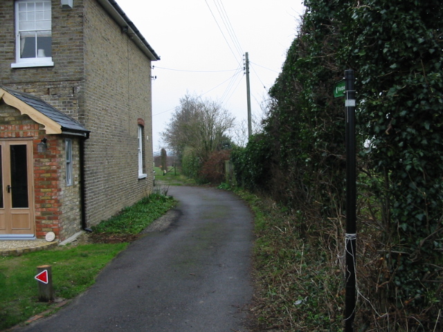
Image: © Nick Smith Taken: 1 Jan 2008
The path passes along the driveway of the house then passes into the orchards via a gap in the fence.
Images are licensed for reuse under creativecommons.org/licenses/by-sa/2.0
Image Location


Leaflet Map data © OpenStreetMap
Latitude
51.292118
Longitude
1.284531