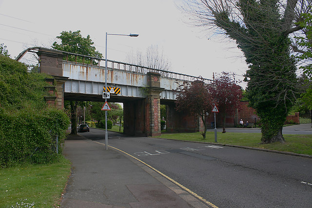
Railway bridge, Thorpe Hall Avenue
Introduction
The photograph on this page of Railway bridge, Thorpe Hall Avenue by David Kemp as part of the Geograph project.
The Geograph project started in 2005 with the aim of publishing, organising and preserving representative images for every square kilometre of Great Britain, Ireland and the Isle of Man.
There are currently over 7.5m images from over 14,400 individuals and you can help contribute to the project by visiting https://www.geograph.org.uk

Image: © David Kemp Taken: 30 Apr 2020
The bridge carries the former London, Tilbury & Southend railway towards Thorpe Bay and Shoeburyness. Its present structure post-dates the railway, the bridge having been reconstructed in 1913 in conjunction with Southend Corporation's tramway boulevards project which added a second tram route to Thorpe Bay by way of the newly-created Southchurch and Thorpe Boulevards. However the boulevards ceased to carry trams in 1938 and today one can walk under the central arch of the bridge through which they used to run.

