Wheat, Middleton
Introduction
The photograph on this page of Wheat, Middleton by Derek Harper as part of the Geograph project.
The Geograph project started in 2005 with the aim of publishing, organising and preserving representative images for every square kilometre of Great Britain, Ireland and the Isle of Man.

There are currently over 7.5m images from over 14,400 individuals and you can help contribute to the project by visiting https://www.geograph.org.uk
Wheat, Middleton
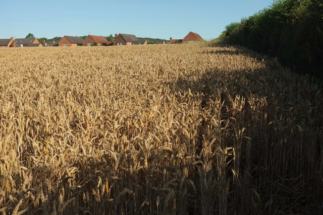
Image: © Derek Harper Taken: 29 Jul 2019
Footpath 0508 32/1 runs down the edge of this field. Only about 120 metres, but it's taken me three minutes from the point where Image] was taken, thanks to the lack of space between crop and hedge. Now all I need to do is find the footbridge over the Dogditch Brook, which is behind me. However, see Image
Images are licensed for reuse under creativecommons.org/licenses/by-sa/2.0
Image Location
Latitude
52.388914
Longitude
-2.675286