Wheat, Middleton
Introduction
The photograph on this page of Wheat, Middleton by Derek Harper as part of the Geograph project.
The Geograph project started in 2005 with the aim of publishing, organising and preserving representative images for every square kilometre of Great Britain, Ireland and the Isle of Man.

There are currently over 7.5m images from over 14,400 individuals and you can help contribute to the project by visiting https://www.geograph.org.uk
Wheat, Middleton
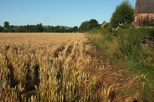
Image: © Derek Harper Taken: 29 Jul 2019
The scene beyond the stile shown in Image But footpath 0508 32/1 doesn't go along this edge of the field; it heads left from the camera. The houses on the right are on Ledwyche Close.
Images are licensed for reuse under creativecommons.org/licenses/by-sa/2.0
Image Location
Latitude
52.388638
Longitude
-2.67631