Old Sleningford Water Mill
Introduction
The photograph on this page of Old Sleningford Water Mill by Matthew Hatton as part of the Geograph project.
The Geograph project started in 2005 with the aim of publishing, organising and preserving representative images for every square kilometre of Great Britain, Ireland and the Isle of Man.

There are currently over 7.5m images from over 14,400 individuals and you can help contribute to the project by visiting https://www.geograph.org.uk
Old Sleningford Water Mill
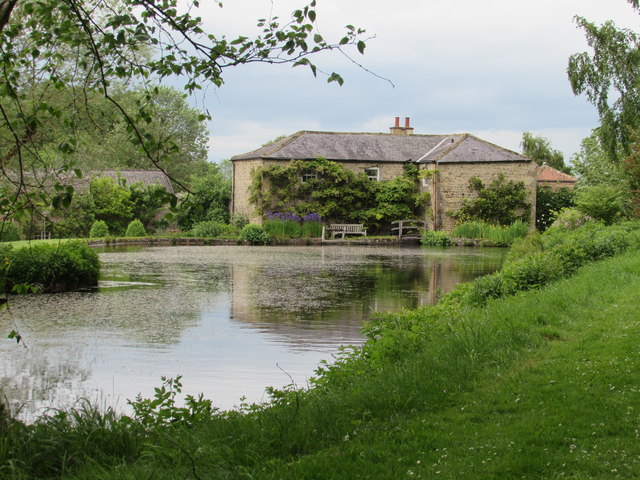
Image: © Matthew Hatton Taken: 2 Jun 2019
Now I'd assumed that this had been built as a corn mill, but on the 1st Ed. OS Map it is marked as a Thrashing Mill. Machinery survives inside with gearing and stones, and the remains of an iron clad water wheel. It has been disused since WW2. It is Grade 2 Listed. The old mill pond has been incorporated into the landscaped garden of Old Sleningford Hall.
Images are licensed for reuse under creativecommons.org/licenses/by-sa/2.0
Image Location
Latitude
54.187286
Longitude
-1.596635