Mill Lane
Introduction
The photograph on this page of Mill Lane by Robin Webster as part of the Geograph project.
The Geograph project started in 2005 with the aim of publishing, organising and preserving representative images for every square kilometre of Great Britain, Ireland and the Isle of Man.

There are currently over 7.5m images from over 14,400 individuals and you can help contribute to the project by visiting https://www.geograph.org.uk
Mill Lane
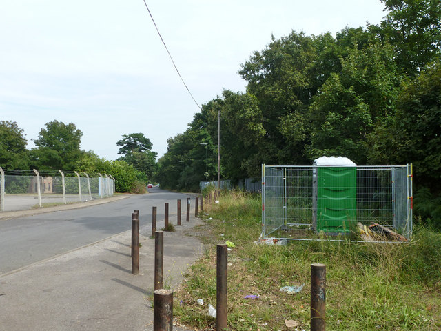
Image: © Robin Webster Taken: 1 Sep 2012
Looking from the dead-end, the road now accessing industrial estates off to the left which are built on the site of Royal Mills.
Images are licensed for reuse under creativecommons.org/licenses/by-sa/2.0
Image Location
Latitude
51.379594
Longitude
-0.373408