Bridge at Linnet Way
Introduction
The photograph on this page of Bridge at Linnet Way by Neil Owen as part of the Geograph project.
The Geograph project started in 2005 with the aim of publishing, organising and preserving representative images for every square kilometre of Great Britain, Ireland and the Isle of Man.

There are currently over 7.5m images from over 14,400 individuals and you can help contribute to the project by visiting https://www.geograph.org.uk
Bridge at Linnet Way
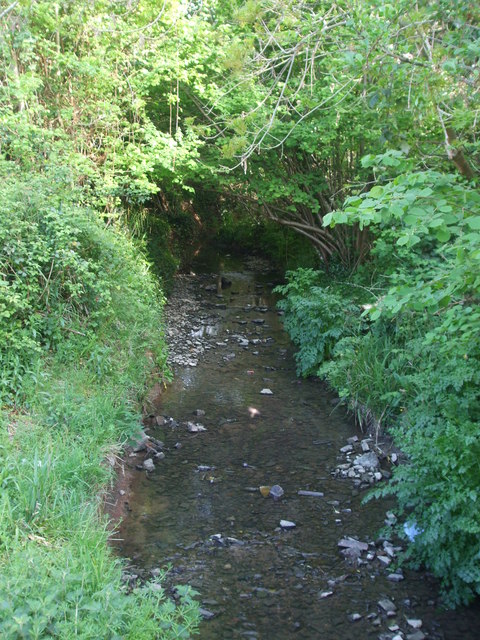
Image: © Neil Owen Taken: 26 Apr 2020
An early incarnation of the Brislington Brook as it passes under the bridge.
Images are licensed for reuse under creativecommons.org/licenses/by-sa/2.0
Image Location
Latitude
51.421941
Longitude
-2.553788