County Bridge Stone
Introduction
The photograph on this page of County Bridge Stone by Guy Wareham as part of the Geograph project.
The Geograph project started in 2005 with the aim of publishing, organising and preserving representative images for every square kilometre of Great Britain, Ireland and the Isle of Man.

There are currently over 7.5m images from over 14,400 individuals and you can help contribute to the project by visiting https://www.geograph.org.uk
County Bridge Stone
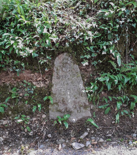
Image: © Guy Wareham Taken: 26 Apr 2020
This roadside stone near to Chercombe Bridge was used to mark the limit of the county's responsibility for maintaining the road on each side of the bridge over the River Lemon.
Images are licensed for reuse under creativecommons.org/licenses/by-sa/2.0
Image Location
Latitude
50.527197
Longitude
-3.64779