Moordown: Croft Road
Introduction
The photograph on this page of Moordown: Croft Road by Chris Downer as part of the Geograph project.
The Geograph project started in 2005 with the aim of publishing, organising and preserving representative images for every square kilometre of Great Britain, Ireland and the Isle of Man.

There are currently over 7.5m images from over 14,400 individuals and you can help contribute to the project by visiting https://www.geograph.org.uk
Moordown: Croft Road
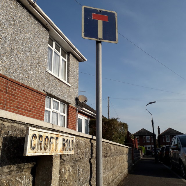
Image: © Chris Downer Taken: 12 Apr 2020
Looking along this very short turning off Oswald Road. The detached early-20th-century house facing us across the dead end is typical of the road and of the whole area. The sign is a rare survival: one of the old 1950s, perhaps earlier, cast iron signs with embossed lettering, attached to a single concrete post. I think it may be earlier than the standard survivor of this kind, as it has a taller, narrower typeface than the norm (see for example Image). This is photo no.95 of a series of 453 in my coronavirus lockdown walking project: See https://www.geograph.org.uk/article/My-2020-Coronavirus-Lockdown-walking-project for the complete set of photos.
Images are licensed for reuse under creativecommons.org/licenses/by-sa/2.0
Image Location
Latitude
50.751658
Longitude
-1.879317