Muscliff: Cox Avenue
Introduction
The photograph on this page of Muscliff: Cox Avenue by Chris Downer as part of the Geograph project.
The Geograph project started in 2005 with the aim of publishing, organising and preserving representative images for every square kilometre of Great Britain, Ireland and the Isle of Man.

There are currently over 7.5m images from over 14,400 individuals and you can help contribute to the project by visiting https://www.geograph.org.uk
Muscliff: Cox Avenue
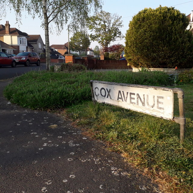
Image: © Chris Downer Taken: 12 Apr 2020
Cox Avenue is almost two roads: from Castle Lane West it heads roughly northeast for a while, and the driving priority of that segment morphs into the more modern Cox Close while a left turn is a continuation of Cox Avenue, northwest to Muscliffe Lane. It is a mix of houses and bungalows. We are looking at the sign on the inside of that 90º turn, confirming the street name both ahead and to the right. The sign is the standard Bournemouth nameplate from the 1980s, affixed with tubular steel which protrudes at each side. This is photo no.92 of a series of 453 in my coronavirus lockdown walking project: See https://www.geograph.org.uk/article/My-2020-Coronavirus-Lockdown-walking-project for the complete set of photos.
Images are licensed for reuse under creativecommons.org/licenses/by-sa/2.0
Image Location
Latitude
50.760365
Longitude
-1.864975