Site of the former Ship Inn
Introduction
The photograph on this page of Site of the former Ship Inn by Mat Fascione as part of the Geograph project.
The Geograph project started in 2005 with the aim of publishing, organising and preserving representative images for every square kilometre of Great Britain, Ireland and the Isle of Man.

There are currently over 7.5m images from over 14,400 individuals and you can help contribute to the project by visiting https://www.geograph.org.uk
Site of the former Ship Inn
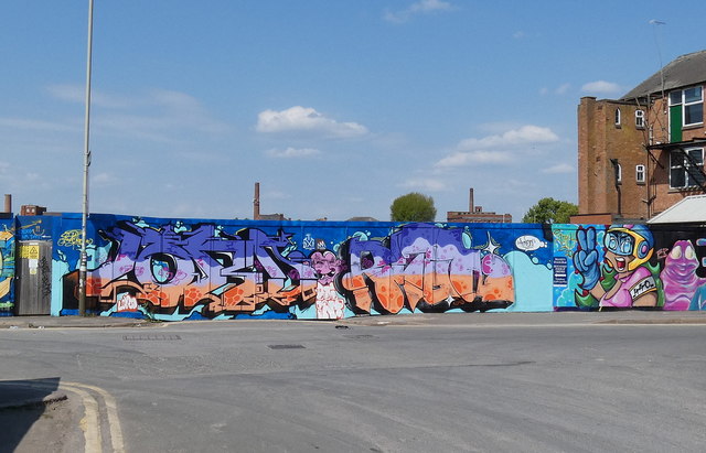
Image: © Mat Fascione Taken: 26 Apr 2020
The Ship Inn was a former public house that stood on Soar Lane. It closed in 2013, and stood derelict for several years before being demolished, part of the wider regeneration of the Black Friars area of Leicester. Image
Images are licensed for reuse under creativecommons.org/licenses/by-sa/2.0
Image Location


Leaflet Map data © OpenStreetMap
Latitude
52.638654
Longitude
-1.142865