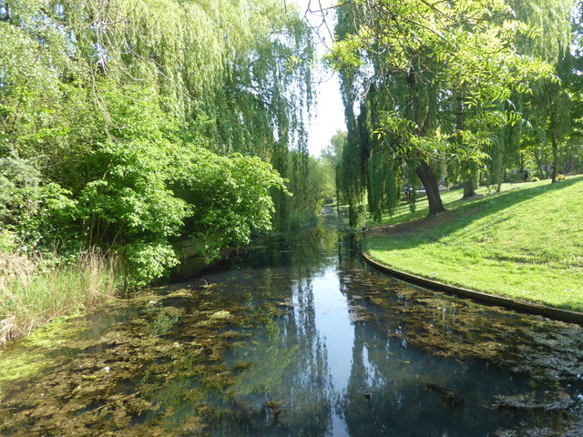
The former moat to Tump 53. Thamesmead
Introduction
The photograph on this page of The former moat to Tump 53. Thamesmead by Marathon as part of the Geograph project.
The Geograph project started in 2005 with the aim of publishing, organising and preserving representative images for every square kilometre of Great Britain, Ireland and the Isle of Man.
There are currently over 7.5m images from over 14,400 individuals and you can help contribute to the project by visiting https://www.geograph.org.uk

Image: © Marathon Taken: 24 Apr 2020
A substantial amount of the land at Thamesmead once formed part of the Royal Arsenal where explosives and weapons were manufactured, tested and stored. About 30 moated magazines, known as tumps, were built around 1890 to direct any accidental explosion harmlessly upwards. Some of the tumps have been preserved within Thamesmead. The brick walls, banked with earth have been preserved but the special lightweight roofs have been removed. After the First World War the Arsenal declined because it lay too far from coal and steel sources and the site was vulnerable to air attacks. The GLC was able to purchase the land from the Ministry of Defence in 1965 to build Thamesmead on the site. This is Tump 53 which is now a nature reserve. It is on the left hand side of the canal and the old walls are largely hidden by vegetation. Bentham Road is up the bank to the right. See https://www.visitgreenwich.org.uk/thamesmead/ for more information and contact details.

