Llewellyn's Alms Houses, Wells
Introduction
The photograph on this page of Llewellyn's Alms Houses, Wells by Danny P Robinson as part of the Geograph project.
The Geograph project started in 2005 with the aim of publishing, organising and preserving representative images for every square kilometre of Great Britain, Ireland and the Isle of Man.

There are currently over 7.5m images from over 14,400 individuals and you can help contribute to the project by visiting https://www.geograph.org.uk
Llewellyn's Alms Houses, Wells
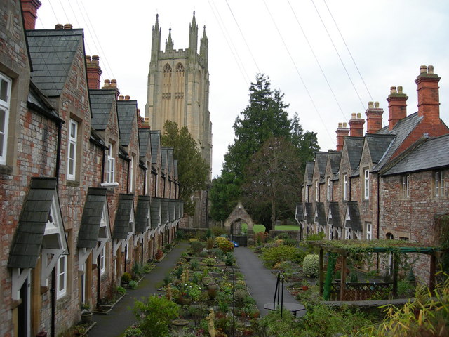
Image: © Danny P Robinson Taken: 30 Dec 2007
Picture taken from Union Street Car Park, looking towards St Cuthbert's Church. Here is a view in the opposite direction Image
Images are licensed for reuse under creativecommons.org/licenses/by-sa/2.0
Image Location
Latitude
51.207801
Longitude
-2.649845