Riverside path
Introduction
The photograph on this page of Riverside path by Gordon Hatton as part of the Geograph project.
The Geograph project started in 2005 with the aim of publishing, organising and preserving representative images for every square kilometre of Great Britain, Ireland and the Isle of Man.

There are currently over 7.5m images from over 14,400 individuals and you can help contribute to the project by visiting https://www.geograph.org.uk
Riverside path
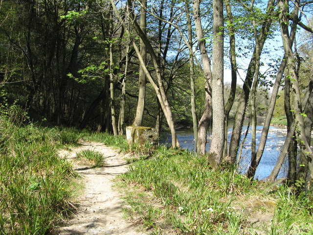
Image: © Gordon Hatton Taken: 24 Apr 2020
One has the impression that the path here could be very wet and muddy after rain as the vegetation is rush rather than grass. On this occasion the mud was baked hard after several weeks of little rain.
Images are licensed for reuse under creativecommons.org/licenses/by-sa/2.0
Image Location


Leaflet Map data © OpenStreetMap
Latitude
54.200017
Longitude
-1.643877