Chapel Lane, Uffington
Introduction
The photograph on this page of Chapel Lane, Uffington by Andrew Smith as part of the Geograph project.
The Geograph project started in 2005 with the aim of publishing, organising and preserving representative images for every square kilometre of Great Britain, Ireland and the Isle of Man.

There are currently over 7.5m images from over 14,400 individuals and you can help contribute to the project by visiting https://www.geograph.org.uk
Chapel Lane, Uffington
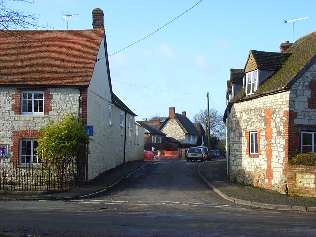
Image: © Andrew Smith Taken: 29 Dec 2007
A small cul-de-sac which gives access to a few cottages, the Baptist chapel and a small post-war estate. On the left is the former Baker's Arms. This hasn't been a pub for some time but the Morland Brewery plaque has been retained and is visible to the extreme left of the picture.
Images are licensed for reuse under creativecommons.org/licenses/by-sa/2.0
Image Location
Latitude
51.600821
Longitude
-1.561035