Bolton Road West Recreation Ground
Introduction
The photograph on this page of Bolton Road West Recreation Ground by Bill Boaden as part of the Geograph project.
The Geograph project started in 2005 with the aim of publishing, organising and preserving representative images for every square kilometre of Great Britain, Ireland and the Isle of Man.

There are currently over 7.5m images from over 14,400 individuals and you can help contribute to the project by visiting https://www.geograph.org.uk
Bolton Road West Recreation Ground
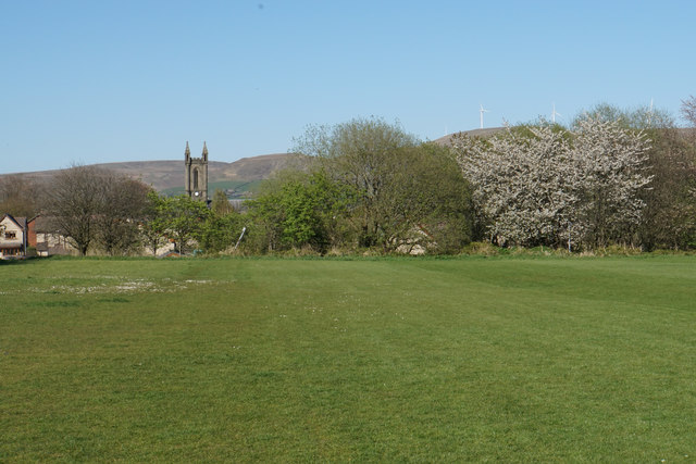
Image: © Bill Boaden Taken: 19 Apr 2020
Also known as the Top Field. This was a former tip and it is still surrounded by methane monitors. It is now a playing field. The tower of St Andrew's Church can be seen as well as some spring blossom.
Images are licensed for reuse under creativecommons.org/licenses/by-sa/2.0
Image Location
Latitude
53.640526
Longitude
-2.323641