Outflow stream or drain from Tring Lake
Introduction
The photograph on this page of Outflow stream or drain from Tring Lake by Rob Farrow as part of the Geograph project.
The Geograph project started in 2005 with the aim of publishing, organising and preserving representative images for every square kilometre of Great Britain, Ireland and the Isle of Man.

There are currently over 7.5m images from over 14,400 individuals and you can help contribute to the project by visiting https://www.geograph.org.uk
Outflow stream or drain from Tring Lake
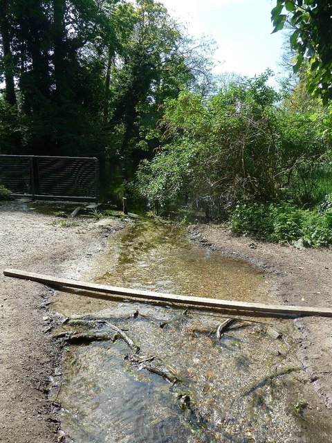
Image: © Rob Farrow Taken: 23 Apr 2020
This is the outflow stream from Image] shown on the OS map as a drain. It is heading for the brook which runs parallel with Brook Street in Tring. See also Image]
Images are licensed for reuse under creativecommons.org/licenses/by-sa/2.0
Image Location
Latitude
51.802191
Longitude
-0.663251