Redhill: Castle Lane West
Introduction
The photograph on this page of Redhill: Castle Lane West by Chris Downer as part of the Geograph project.
The Geograph project started in 2005 with the aim of publishing, organising and preserving representative images for every square kilometre of Great Britain, Ireland and the Isle of Man.

There are currently over 7.5m images from over 14,400 individuals and you can help contribute to the project by visiting https://www.geograph.org.uk
Redhill: Castle Lane West
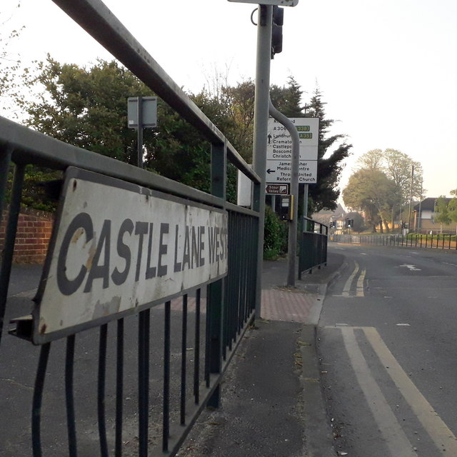
Image: © Chris Downer Taken: 12 Apr 2020
Castle Lane West and East from the A3060, a very busy road through the northern suburbs of Bournemouth. All is very quiet here, however, not just because we are in the midst of the coronavirus lockdown but also because it's a couple of minutes past 7 o'clock on Easter Sunday morning. The road sign is a standard borough 1980s one, which must have been retained and reused on this railing because this junction was reconfigured in the early 90s, having previously been a mini-roundabout. This is photo no.63 of a series of 453 in my coronavirus lockdown walking project: See https://www.geograph.org.uk/article/My-2020-Coronavirus-Lockdown-walking-project for the complete set of photos.
Images are licensed for reuse under creativecommons.org/licenses/by-sa/2.0
Image Location
Latitude
50.760822
Longitude
-1.871354