Stowford Mill housing development
Introduction
The photograph on this page of Stowford Mill housing development by jeff collins as part of the Geograph project.
The Geograph project started in 2005 with the aim of publishing, organising and preserving representative images for every square kilometre of Great Britain, Ireland and the Isle of Man.

There are currently over 7.5m images from over 14,400 individuals and you can help contribute to the project by visiting https://www.geograph.org.uk
Stowford Mill housing development
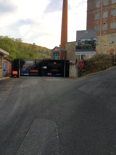
Image: © jeff collins Taken: 23 Apr 2020
Formerly the Argo Wiggins paper mill. Now a housing/ business development with cafe, few artisan shops and up market housing. As yet not finished so no public access, apart from a show home.
Images are licensed for reuse under creativecommons.org/licenses/by-sa/2.0
Image Location
Latitude
50.392431
Longitude
-3.919993