Field, Neenton
Introduction
The photograph on this page of Field, Neenton by Derek Harper as part of the Geograph project.
The Geograph project started in 2005 with the aim of publishing, organising and preserving representative images for every square kilometre of Great Britain, Ireland and the Isle of Man.

There are currently over 7.5m images from over 14,400 individuals and you can help contribute to the project by visiting https://www.geograph.org.uk
Field, Neenton
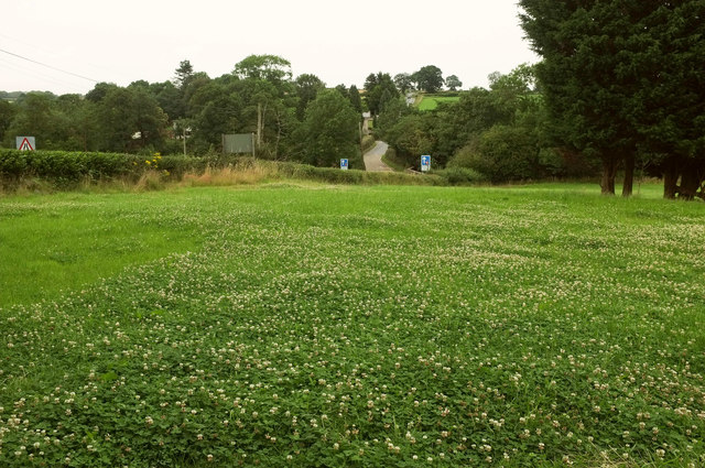
Image: © Derek Harper Taken: 28 Jul 2019
A view from the car park at "The Pheasant", and a fine crop of white clover in the field. In the background, road signs indicate priority over oncoming traffic as the B4364 crosses the Rea Brook.
Images are licensed for reuse under creativecommons.org/licenses/by-sa/2.0
Image Location
Latitude
52.48655
Longitude
-2.534081