Bucks Burn valley path
Introduction
The photograph on this page of Bucks Burn valley path by Bill Harrison as part of the Geograph project.
The Geograph project started in 2005 with the aim of publishing, organising and preserving representative images for every square kilometre of Great Britain, Ireland and the Isle of Man.

There are currently over 7.5m images from over 14,400 individuals and you can help contribute to the project by visiting https://www.geograph.org.uk
Bucks Burn valley path
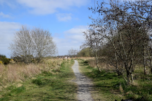
Image: © Bill Harrison Taken: 18 Apr 2020
A small part of many kilometres of attractive paths and trails that link Kingswells with Aberdeen's western suburbs.
Images are licensed for reuse under creativecommons.org/licenses/by-sa/2.0
Image Location
Latitude
57.16223
Longitude
-2.21144