Bench Mark
Introduction
The photograph on this page of Bench Mark by Keith Pitchforth as part of the Geograph project.
The Geograph project started in 2005 with the aim of publishing, organising and preserving representative images for every square kilometre of Great Britain, Ireland and the Isle of Man.

There are currently over 7.5m images from over 14,400 individuals and you can help contribute to the project by visiting https://www.geograph.org.uk
Bench Mark
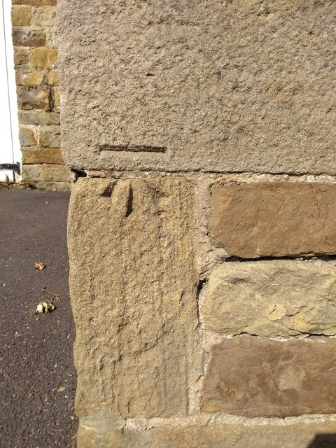
Image: © Keith Pitchforth Taken: 22 Apr 2020
This mark is on the west corner of the former barn at School Green Farm (1915)
Images are licensed for reuse under creativecommons.org/licenses/by-sa/2.0
Image Location
Latitude
53.362108
Longitude
-1.55067