Thamesmead Town Centre
Introduction
The photograph on this page of Thamesmead Town Centre by Marathon as part of the Geograph project.
The Geograph project started in 2005 with the aim of publishing, organising and preserving representative images for every square kilometre of Great Britain, Ireland and the Isle of Man.

There are currently over 7.5m images from over 14,400 individuals and you can help contribute to the project by visiting https://www.geograph.org.uk
Thamesmead Town Centre
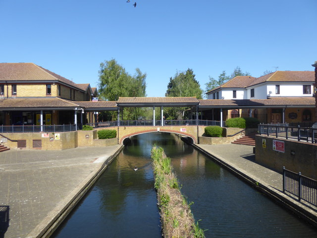
Image: © Marathon Taken: 20 Apr 2020
The Thamesmead Town Centre Clock is here seen across one of the landscaped canals which were former drainage ditches on Plumstead and Erith Marshes. See also https://www.geograph.org.uk/photo/6449922 However, a few yards south of here, on the other side of Central Way, the ditch reverts to a more natural form - https://www.geograph.org.uk/photo/6450089
Images are licensed for reuse under creativecommons.org/licenses/by-sa/2.0
Image Location
Latitude
51.507009
Longitude
0.107234