Kirland Road junction
Introduction
The photograph on this page of Kirland Road junction by Phil Williams as part of the Geograph project.
The Geograph project started in 2005 with the aim of publishing, organising and preserving representative images for every square kilometre of Great Britain, Ireland and the Isle of Man.

There are currently over 7.5m images from over 14,400 individuals and you can help contribute to the project by visiting https://www.geograph.org.uk
Kirland Road junction
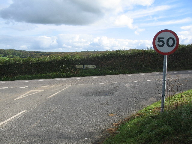
Image: © Phil Williams Taken: 9 Oct 2005
Looking to the southeast, where Kirland Road meets the B3268. Left would take you into Bodmin, a right turn would take you to Lostwithiel and St. Austell.
Images are licensed for reuse under creativecommons.org/licenses/by-sa/2.0
Image Location


Leaflet Map data © OpenStreetMap
Latitude
50.448815
Longitude
-4.707188