Road junction, Sheet
Introduction
The photograph on this page of Road junction, Sheet by Derek Harper as part of the Geograph project.
The Geograph project started in 2005 with the aim of publishing, organising and preserving representative images for every square kilometre of Great Britain, Ireland and the Isle of Man.

There are currently over 7.5m images from over 14,400 individuals and you can help contribute to the project by visiting https://www.geograph.org.uk
Road junction, Sheet
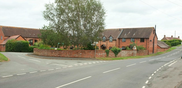
Image: © Derek Harper Taken: 28 Jul 2019
A different angle on the junction shown in Image To the left is Squirrel Lane. The Shropshire Way keeps right.
Images are licensed for reuse under creativecommons.org/licenses/by-sa/2.0
Image Location
Latitude
52.364468
Longitude
-2.689452