Junction with Bolahaul Road
Introduction
The photograph on this page of Junction with Bolahaul Road by Pan Dodd-Noble as part of the Geograph project.
The Geograph project started in 2005 with the aim of publishing, organising and preserving representative images for every square kilometre of Great Britain, Ireland and the Isle of Man.

There are currently over 7.5m images from over 14,400 individuals and you can help contribute to the project by visiting https://www.geograph.org.uk
Junction with Bolahaul Road
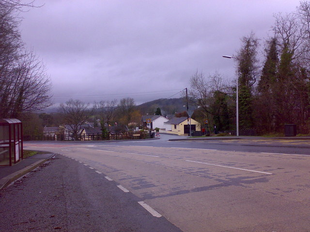
Image: © Pan Dodd-Noble Taken: 31 Dec 2007
Travelling north through Cwmffrwd the turning on the right hand side is the Bolahaul Road.
Images are licensed for reuse under creativecommons.org/licenses/by-sa/2.0
Image Location
Latitude
51.832719
Longitude
-4.289521