Kinson: Berrans Avenue
Introduction
The photograph on this page of Kinson: Berrans Avenue by Chris Downer as part of the Geograph project.
The Geograph project started in 2005 with the aim of publishing, organising and preserving representative images for every square kilometre of Great Britain, Ireland and the Isle of Man.

There are currently over 7.5m images from over 14,400 individuals and you can help contribute to the project by visiting https://www.geograph.org.uk
Kinson: Berrans Avenue
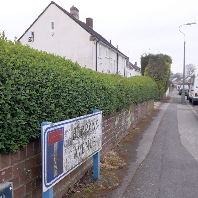
Image: © Chris Downer Taken: 18 Apr 2020
The end wall and frontages of the council houses in the background illustrate the nature of this road. It is quite long for a dead-end without any turnings. The sign is of a design that became prevalent in Bournemouth around 1990 and was in use for most of that decade. Many are starting to look a bit shabby now, but although this one is grubby its white surface isn't flaking and the blue border is intact. This is photo no.36 of a series of 451 in my coronavirus lockdown walking project: See https://www.geograph.org.uk/article/My-2020-Coronavirus-Lockdown-walking-project for the complete set of photos.
Images are licensed for reuse under creativecommons.org/licenses/by-sa/2.0
Image Location
Latitude
50.770387
Longitude
-1.906354