Davy Road: an NHS rainbow
Introduction
The photograph on this page of Davy Road: an NHS rainbow by John Sutton as part of the Geograph project.
The Geograph project started in 2005 with the aim of publishing, organising and preserving representative images for every square kilometre of Great Britain, Ireland and the Isle of Man.

There are currently over 7.5m images from over 14,400 individuals and you can help contribute to the project by visiting https://www.geograph.org.uk
Davy Road: an NHS rainbow
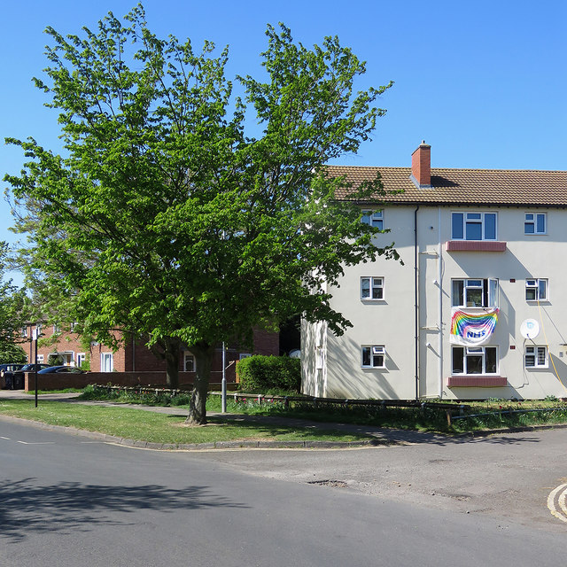
Image: © John Sutton Taken: 20 Apr 2020
During the coronavirus pandemic the rainbow - often drawn or painted by children - became a nationwide symbol of support for National Health Service workers.
Images are licensed for reuse under creativecommons.org/licenses/by-sa/2.0
Image Location


Leaflet Map data © OpenStreetMap
Latitude
52.193366
Longitude
0.143788