Hammersmith Christian Fellowship
Introduction
The photograph on this page of Hammersmith Christian Fellowship by Robin Webster as part of the Geograph project.
The Geograph project started in 2005 with the aim of publishing, organising and preserving representative images for every square kilometre of Great Britain, Ireland and the Isle of Man.

There are currently over 7.5m images from over 14,400 individuals and you can help contribute to the project by visiting https://www.geograph.org.uk
Hammersmith Christian Fellowship
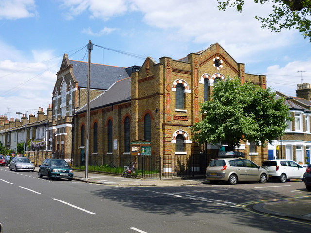
Image: © Robin Webster Taken: 13 May 2012
On the corner of Dalling Road and Furber Street, W6. Formerly a Methodist church, the taller building beyond was a Sunday school.
Images are licensed for reuse under creativecommons.org/licenses/by-sa/2.0
Image Location
Latitude
51.497184
Longitude
-0.234523