Footpath up the side of Ash Ground, Saxmundham
Introduction
The photograph on this page of Footpath up the side of Ash Ground, Saxmundham by Christopher Hilton as part of the Geograph project.
The Geograph project started in 2005 with the aim of publishing, organising and preserving representative images for every square kilometre of Great Britain, Ireland and the Isle of Man.

There are currently over 7.5m images from over 14,400 individuals and you can help contribute to the project by visiting https://www.geograph.org.uk
Footpath up the side of Ash Ground, Saxmundham
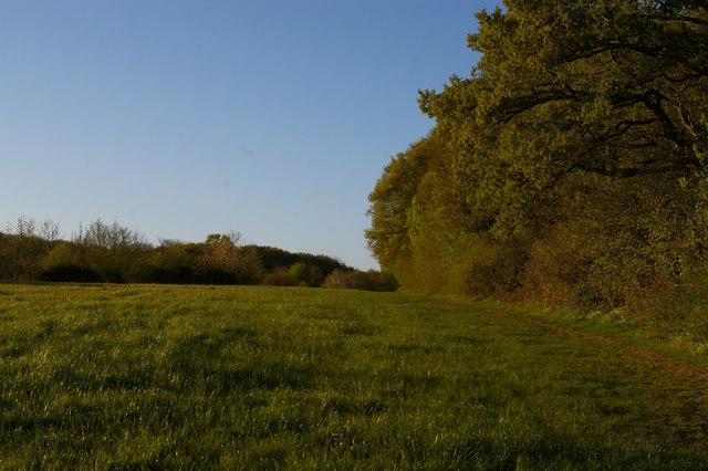
Image: © Christopher Hilton Taken: 19 Apr 2020
The A12 Saxmundham bypass, virtually silent at this time during the Coronavirus outbreak, runs in a shallow cutting behind the hedge to the left.
Images are licensed for reuse under creativecommons.org/licenses/by-sa/2.0
Image Location
Latitude
52.221914
Longitude
1.477828