Ensbury Park: Barnes Crescent
Introduction
The photograph on this page of Ensbury Park: Barnes Crescent by Chris Downer as part of the Geograph project.
The Geograph project started in 2005 with the aim of publishing, organising and preserving representative images for every square kilometre of Great Britain, Ireland and the Isle of Man.

There are currently over 7.5m images from over 14,400 individuals and you can help contribute to the project by visiting https://www.geograph.org.uk
Ensbury Park: Barnes Crescent
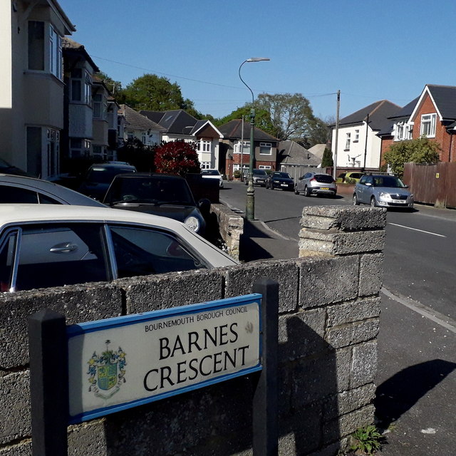
Image: © Chris Downer Taken: 13 Apr 2020
In an area of detached houses, Barnes Crescent is an angular, trapezium shaped crescent off Barnes Road. This is its western end. The sign is a Bournemouth Borough one with the borough coat of arms, dating from around 2000-2006, possibly a little earlier. This is photo no.28 of a series of 451 in my coronavirus lockdown walking project: See https://www.geograph.org.uk/article/My-2020-Coronavirus-Lockdown-walking-project for the complete set of photos.
Images are licensed for reuse under creativecommons.org/licenses/by-sa/2.0
Image Location
Latitude
50.755179
Longitude
-1.8932