Woodland path, Blackwood Estate
Introduction
The photograph on this page of Woodland path, Blackwood Estate by Alan O'Dowd as part of the Geograph project.
The Geograph project started in 2005 with the aim of publishing, organising and preserving representative images for every square kilometre of Great Britain, Ireland and the Isle of Man.

There are currently over 7.5m images from over 14,400 individuals and you can help contribute to the project by visiting https://www.geograph.org.uk
Woodland path, Blackwood Estate
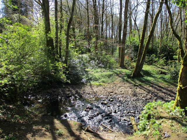
Image: © Alan O'Dowd Taken: 18 Apr 2020
No sign of the footbridge shown on the map, although the wooden debris on the near bank might be remains. The unusually dry spell of weather has reduced the Cander Water to little more than a trickle here in any event.
Images are licensed for reuse under creativecommons.org/licenses/by-sa/2.0
Image Location


Leaflet Map data © OpenStreetMap
Latitude
55.669355
Longitude
-3.946976