Shropshire Union Canal milepost at Park Heath
Introduction
The photograph on this page of Shropshire Union Canal milepost at Park Heath by Mat Fascione as part of the Geograph project.
The Geograph project started in 2005 with the aim of publishing, organising and preserving representative images for every square kilometre of Great Britain, Ireland and the Isle of Man.

There are currently over 7.5m images from over 14,400 individuals and you can help contribute to the project by visiting https://www.geograph.org.uk
Shropshire Union Canal milepost at Park Heath
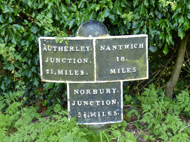
Image: © Mat Fascione Taken: 5 Jul 2019
Autherley Junction 21 miles. Nantwich 18 miles. Norbury Junction 5½ miles. Image, for a wider view of the milepost.
Images are licensed for reuse under creativecommons.org/licenses/by-sa/2.0
Image Location


Leaflet Map data © OpenStreetMap
Latitude
52.844235
Longitude
-2.401867