Northbourne: Avebury Avenue
Introduction
The photograph on this page of Northbourne: Avebury Avenue by Chris Downer as part of the Geograph project.
The Geograph project started in 2005 with the aim of publishing, organising and preserving representative images for every square kilometre of Great Britain, Ireland and the Isle of Man.

There are currently over 7.5m images from over 14,400 individuals and you can help contribute to the project by visiting https://www.geograph.org.uk
Northbourne: Avebury Avenue
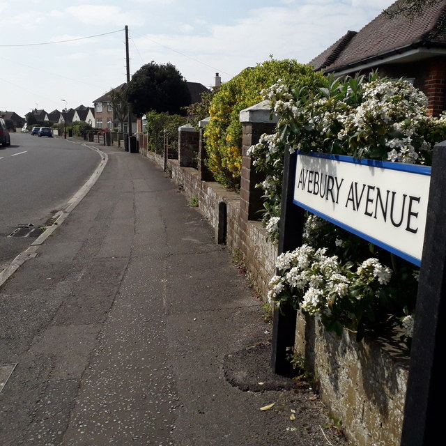
Image: © Chris Downer Taken: 12 Apr 2020
Looking along this short, curved road of desirable bungalows (although there's a house visible also) from its northeast corner. The road sign dates from 2017/2018: until then, the signage included the words BOURNEMOUTH BOROUGH COUNCIL in smaller type at the top. (Bournemouth Council ceased to exist in April 2019 but the removal of the council name happened before that). This is photo no.22 of a series of 451 in my coronavirus lockdown walking project: See https://www.geograph.org.uk/article/My-2020-Coronavirus-Lockdown-walking-project for the complete set of photos.
Images are licensed for reuse under creativecommons.org/licenses/by-sa/2.0
Image Location
Latitude
50.76983
Longitude
-1.886077