The East Coast Main Line at Barnby Lane Crossing
Introduction
The photograph on this page of The East Coast Main Line at Barnby Lane Crossing by Jonathan Thacker as part of the Geograph project.
The Geograph project started in 2005 with the aim of publishing, organising and preserving representative images for every square kilometre of Great Britain, Ireland and the Isle of Man.

There are currently over 7.5m images from over 14,400 individuals and you can help contribute to the project by visiting https://www.geograph.org.uk
The East Coast Main Line at Barnby Lane Crossing
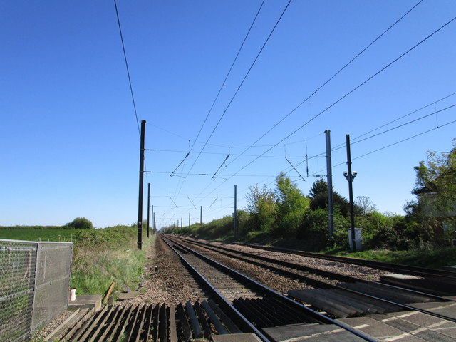
Image: © Jonathan Thacker Taken: 19 Apr 2020
Barnby Lane Crossing was known as Liberty Gate Crossing. The change of name seems irrational given the potential confusion with Barnby Crossing three miles away towards Newark. In the days of steam and when the railways' principal purpose was the movement of freight rather than passengers, the down goods loop (on the right of the picture) could be occupied for quite lengthy periods (30 -45 minutes) blocking the level crossing. An alternative route to the farms of Claypole Fen was via Oster Fen Lane and Cross Lane.
Images are licensed for reuse under creativecommons.org/licenses/by-sa/2.0
Image Location
Latitude
53.03557
Longitude
-0.732505