Sign on Well Lane, Murton
Introduction
The photograph on this page of Sign on Well Lane, Murton by Geoff Holland as part of the Geograph project.
The Geograph project started in 2005 with the aim of publishing, organising and preserving representative images for every square kilometre of Great Britain, Ireland and the Isle of Man.

There are currently over 7.5m images from over 14,400 individuals and you can help contribute to the project by visiting https://www.geograph.org.uk
Sign on Well Lane, Murton
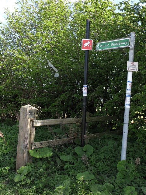
Image: © Geoff Holland Taken: 19 Apr 2020
This public bridleway links Murton village with West Monkseaton and for the first 300 metres follows the course of Well Lane. The first Ordnance Survey Six-Inch map of the area, published in 1865, shows the existence of 'Murton Well' approximately two-thirds of the way down Well Lane but, by the time of the publication of the 1920 map, reference to the well had disappeared. For a selection of detailed free to download walking routes in the area visit www.northtynesidewalks.co.uk
Images are licensed for reuse under creativecommons.org/licenses/by-sa/2.0
Image Location
Latitude
55.03145
Longitude
-1.486047