Northbourne: Alderley Road
Introduction
The photograph on this page of Northbourne: Alderley Road by Chris Downer as part of the Geograph project.
The Geograph project started in 2005 with the aim of publishing, organising and preserving representative images for every square kilometre of Great Britain, Ireland and the Isle of Man.

There are currently over 7.5m images from over 14,400 individuals and you can help contribute to the project by visiting https://www.geograph.org.uk
Northbourne: Alderley Road
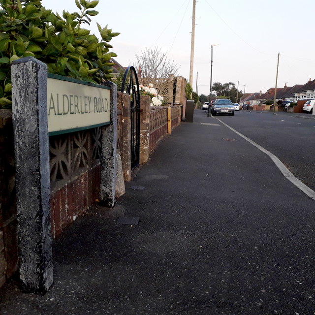
Image: © Chris Downer Taken: 11 Apr 2020
Looking along this short suburban road in an area of middle-class bungalows. The sign is a modern one, probably from around 2000, and is not rare in this neck of the woods. It morphed into another design, including BOURNEMOUTH BOROUGH COUNCIL in smaller letters at the top, and the borough coat of arms on the left. This is photo no.6 of a series of 451 in my coronavirus lockdown walking project: See https://www.geograph.org.uk/article/My-2020-Coronavirus-Lockdown-walking-project for the complete set of photos.
Images are licensed for reuse under creativecommons.org/licenses/by-sa/2.0
Image Location
Latitude
50.762908
Longitude
-1.888788