Farmland on the northern edge of Desford
Introduction
The photograph on this page of Farmland on the northern edge of Desford by Mat Fascione as part of the Geograph project.
The Geograph project started in 2005 with the aim of publishing, organising and preserving representative images for every square kilometre of Great Britain, Ireland and the Isle of Man.

There are currently over 7.5m images from over 14,400 individuals and you can help contribute to the project by visiting https://www.geograph.org.uk
Farmland on the northern edge of Desford
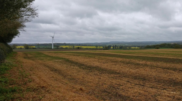
Image: © Mat Fascione Taken: 18 Apr 2020
The high ground on the horizon is 6 miles away at Bardon Hill, the highest point in Leicestershire at 912 feet (278 m).
Images are licensed for reuse under creativecommons.org/licenses/by-sa/2.0
Image Location
Latitude
52.627584
Longitude
-1.305742