Teversham: on Lady Jermy Way
Introduction
The photograph on this page of Teversham: on Lady Jermy Way by John Sutton as part of the Geograph project.
The Geograph project started in 2005 with the aim of publishing, organising and preserving representative images for every square kilometre of Great Britain, Ireland and the Isle of Man.

There are currently over 7.5m images from over 14,400 individuals and you can help contribute to the project by visiting https://www.geograph.org.uk
Teversham: on Lady Jermy Way
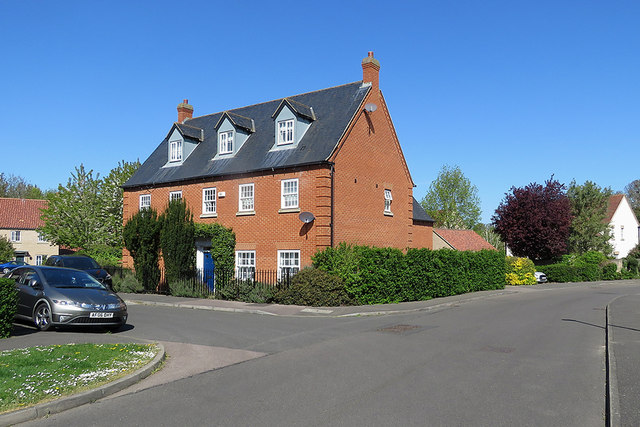
Image: © John Sutton Taken: 19 Apr 2020
Recent housing in Charles Windsor style at the northern end of the village.
Images are licensed for reuse under creativecommons.org/licenses/by-sa/2.0
Image Location
Latitude
52.204362
Longitude
0.186467